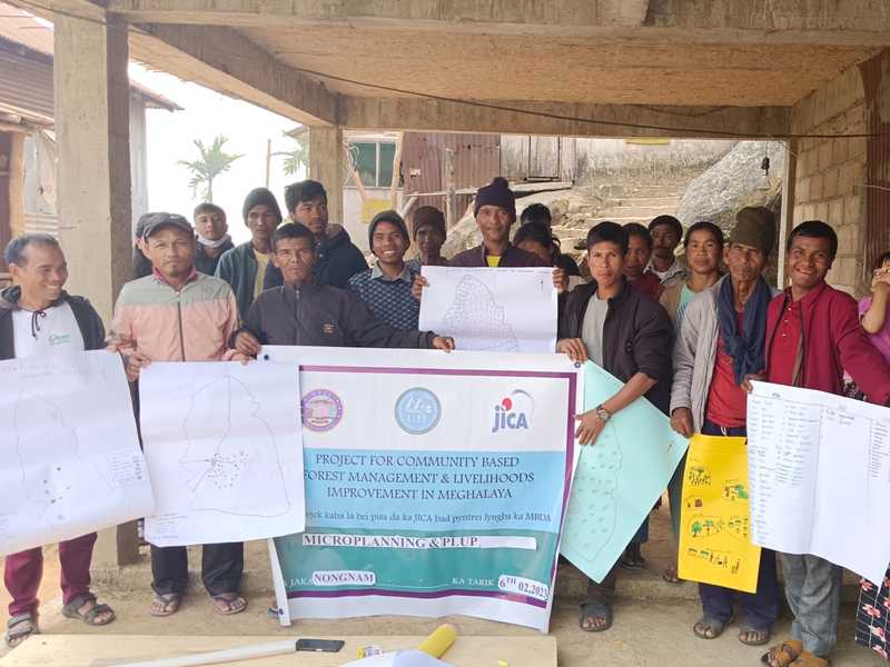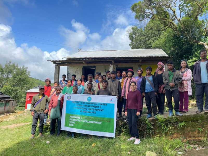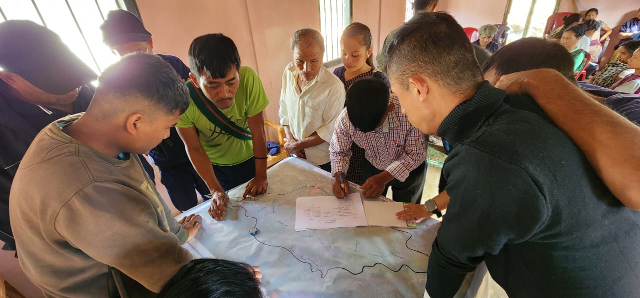
Participatory Land Use Planning (PLUP) involves community members, including both men and women, conducting land use planning collaboratively.
Before making a microplan including a forest management plan and a livelihood improvement plan, which is described in detail, it is necessary to make a frame of land use plan to identify which part of a village will be used for what purpose covering the entire area of a village. In other words, land use zoning at village level shall be prepared before making a microplan.
This land use planning shall be conducted by community members including men and women in a participatory manner. Thus, this activity is called Participatory Land Use Planning (PLUP). PLUP is quite similar to making a microplan prepared by a JFMC according to the guideline developed by the central government agency. However, in the Project, JFM scheme will be adopted to only some part of the project target area. In other areas, other schemes such as Village Reserve Forest (VRF) and Community Forest (CF) registered to the ADC concerned will be adopted for sustainable forest management.
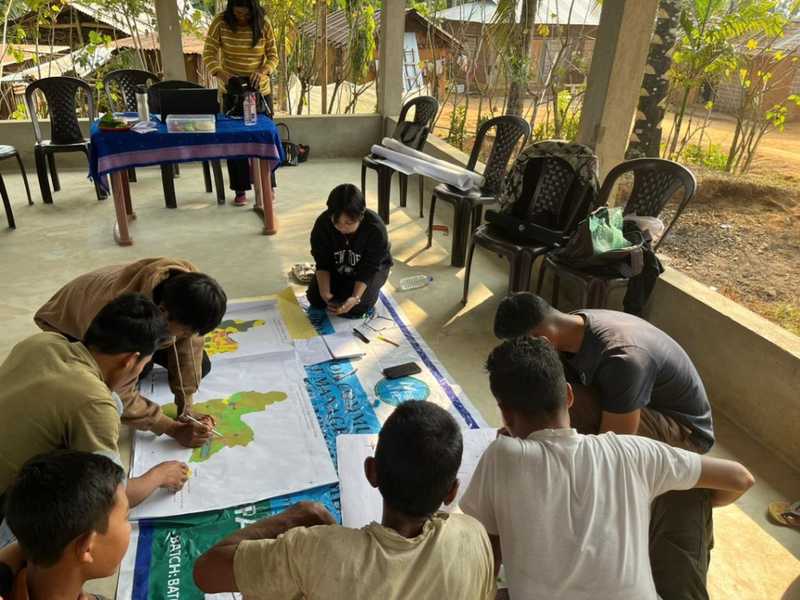
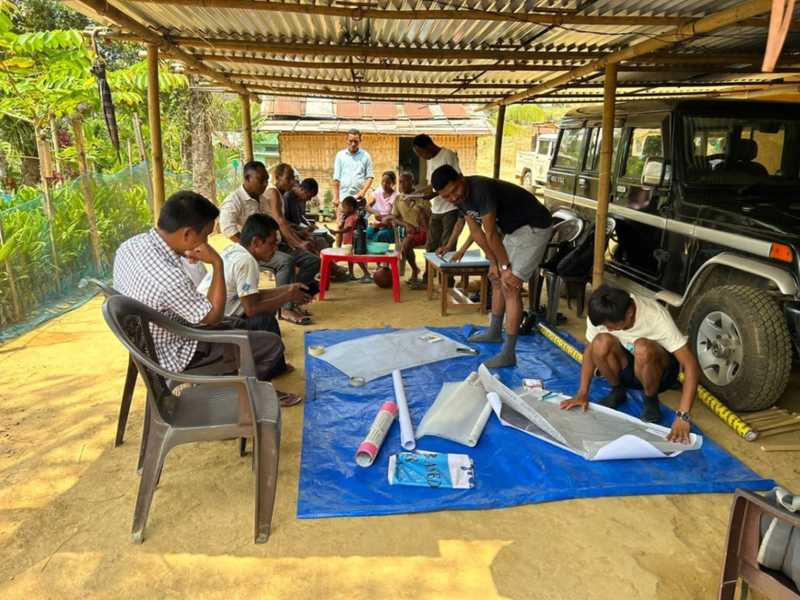
VRF or CF does not require preparation for a microplan regulated by the JFM guideline. Therefore, PLUP needs to be conducted in a uniformed manner in the Project in all target villages to conduct proper land use zoning at village level from long-term view. Land Use Planning of Selected Sites at 1:10,000 Scale For the land use planning, the Project prepares the four sets of maps: (1) Land use/land cover maps, (2) Forest density maps, (3) Forest/vegetation type maps, and (4) Topographic maps (e.g. roads, rivers, streams, contours, and settlements).
Based on the inputs from land use zoning, a new set of maps are produced as “land use zoning map,” which intends to display future plan of zoning. First, the land use/land cover maps can be used for the study and estimation of land use patterns of selected sites. Second, the forest density maps can be used for the study and estimation of the size of areas that conservation activities are needed and the availability of open areas for plantation and other treatments in each selected site. Third, the vegetation type maps can be used for the study and estimation of existing vegetation types, potential NTFPs, and needs for planting materials. Fourth, the topographic maps can be used for planning of assets under Entry Point Activity (EPA) and measures for soil and water conservation. For effective use in land use planning, these maps need to be printed. These maps are printed by block